MacLeod's Tables (Healabhal Bheag)
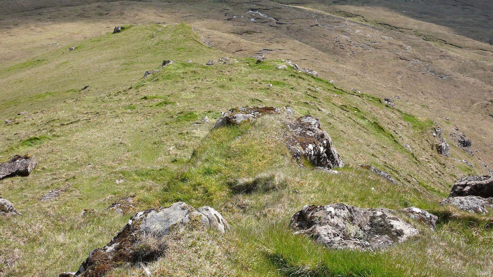
The flat-topped hill you see from every Duirinish road — steep, pathless and usually deserted.
Today
not safe
- Not safe on the tops — 50 mph up there, and they'll be in cloud
- Summit wind50 mphnot safe at 40 mph and above, breezy from 25
- Rain1.7 mmheavy at 15 mm and above, on and off from 8
- Cloud-free tops10%in cloud below 30%, a clear top likely from 60
Best between 15:00 and 20:00. it improves — wait for it
09
12
15
18
good hoursraindaylight
lightbreezystronggalegusts peak 31 mph
sunrise 07:07 · sunset 19:31 · gusts to 38 mph · 1.7 mm of rain due
Forecast as of 20 September 2026, 21:50 (Europe/London).
Worth knowing
Rated exposed rather than moderate because of the summit itself: a bare, featureless plateau with crags on its north side, where navigation in cloud is the real hazard. No made path, and boggy below.
Starts: Orbost road south of Dunvegan, or Osdale
8.0 km · 500 m of ascent · 3.5-4 h · exposed
More in Waternish & Duirinish
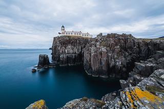
Neist Point lighthouse walk not safe
Steps down to the westernmost lighthouse on Skye, with the Outer Hebrides on the horizon.
Not safe on the tops — 50 mph up there, and they'll be in cloud
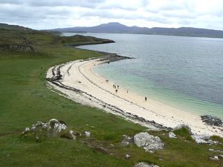
Coral Beach, Claigan beach good
Crushed white shell sand and turquoise water north of Dunvegan. Flat, easy, good with children.
Light winds
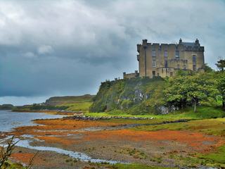
Dunvegan Castle & gardens place any weather
The MacLeod seat for 800 years, with formal gardens, a seal boat and a lot of indoors.
Not weather-dependent
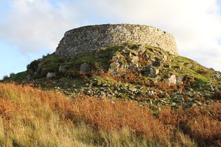
Dun Beag broch viewpoint breezy
A 2,000-year-old drystone tower ten minutes above the A863, looking over Loch Bracadale.
Blustery